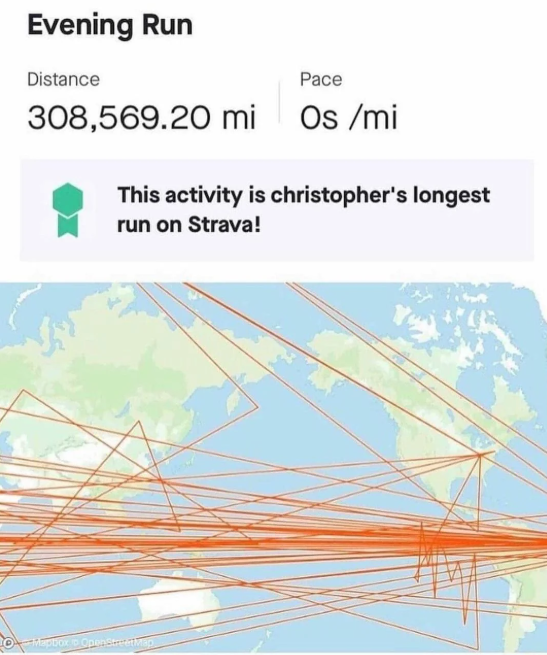
This is more about the weird pathing and not the distance, but here’s what it looks like when I have a bouldering session. Apparently I spend a lot of time outside and pass through walls.
Kind of goes haywire when cell signal drops out. Might be in a brick or concrete building? Mine was in an area of the mountains where using the phone was doomed. I’ve been using a garmin since and it never does this. In a pinch, I used my phone on a hike the other day, and next to big boulder, it did the same thing you’re showing, sent and impossibly straight line up a mountain.


This is more about the weird pathing and not the distance, but here’s what it looks like when I have a bouldering session. Apparently I spend a lot of time outside and pass through walls.
22m elevation during a boulder session? Pick up the slack jeez.
Kind of goes haywire when cell signal drops out. Might be in a brick or concrete building? Mine was in an area of the mountains where using the phone was doomed. I’ve been using a garmin since and it never does this. In a pinch, I used my phone on a hike the other day, and next to big boulder, it did the same thing you’re showing, sent and impossibly straight line up a mountain.